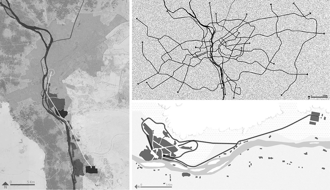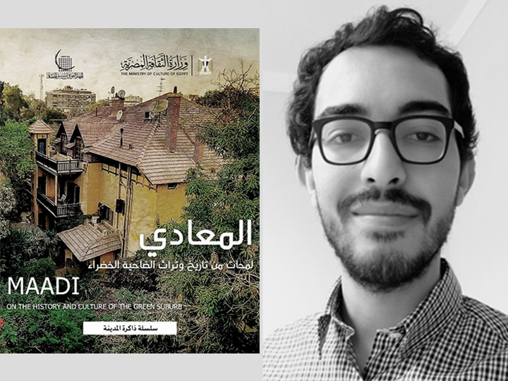
Amr Essam Abdelmoniem, a Ph.D. Student in History, has published his own maps and a new chapter “Al-Wusūl ilā al-Maʿādī wa-Manẓūmat al-Tanaqqul fī al-Ḍāḥiya,” in Al-Ma‘ādī: Lamaḥāt min Tārīkh wa Turāth al-Ḍāḥiyah al-Khaḍrā’ (“Arriving at Maadi and the Suburb’s Mobility System,” in Maadi: On the History and Culture of a Green Suburb), an edited volume published by the National Organization for Urban Harmony in the Egyptian Ministry of Culture. Amr shares that he has produced original, digital maps like these as part of a “long-term research project that traces and documents Cairo’s infrastructure and urban mobility networks since the mid-nineteenth century. The purpose of these maps is to trace urban transformations as part of Cairo’s long-term urban modernization project, as it has evolved alongside and been shaped by political, economic, and institutional changes from the mid-nineteenth century to the present. The project combines historical sources with original cartographic work to track institutional roles and shifts in urban policy throughout Cairo's long history.” Amr has already published his work in, Min al-Qahira ila al-Dawahi al-Jadida: al-Qitar wa al-Nukhba wa al-Madina, fi ‘Ard al-Tariq (in English: From Cairo to the New Suburbs: The Train, the Elite, and the City, in On the Road), another edited volume published by Dar Al Maraya in Cairo in 2024.