ETI-funded collaboration brings together remote sensing, atmospheric chemistry and land-atmosphere science to help distinguish between natural and industrial methane sources along the Houston Ship Channel.
Three University of Houston Department of Earth and Atmospheric Sciences researchers are combining complementary expertise to develop a multiscale approach for detecting and characterizing methane emissions along the Texas Gulf Coast.
The project, “Mapping Methane Emissions through Hyperspectral Imaging and In-Situ Measurements,” is supported by the University of Houston Energy Transition Institute. The research team includes Shuhab D. Khan, associate chair and professor of geology; Kunxiaojia “Tammy” Yuan, assistant professor of Earth and Atmospheric Sciences; and Bernhard Rappenglueck, professor of atmospheric chemistry, all in the Department of Earth and Atmospheric Sciences.
Student researchers are also playing an important role in the project. Ph.D. students Muhammad Younas and Saaed Tavakhsh and undergraduate researcher Ryan Dekoekkoek are contributing to field measurements, drone surveys, methane data collection and data analysis.
The collaboration brings together Khan’s expertise in geological and hyperspectral remote sensing, Rappenglueck’s work in atmospheric trace-gas measurements and the separation of anthropogenic and biogenic influences, and Yuan’s research in remote sensing, land-atmosphere interactions and interpretable artificial intelligence.
A Natural Laboratory for Methane Research
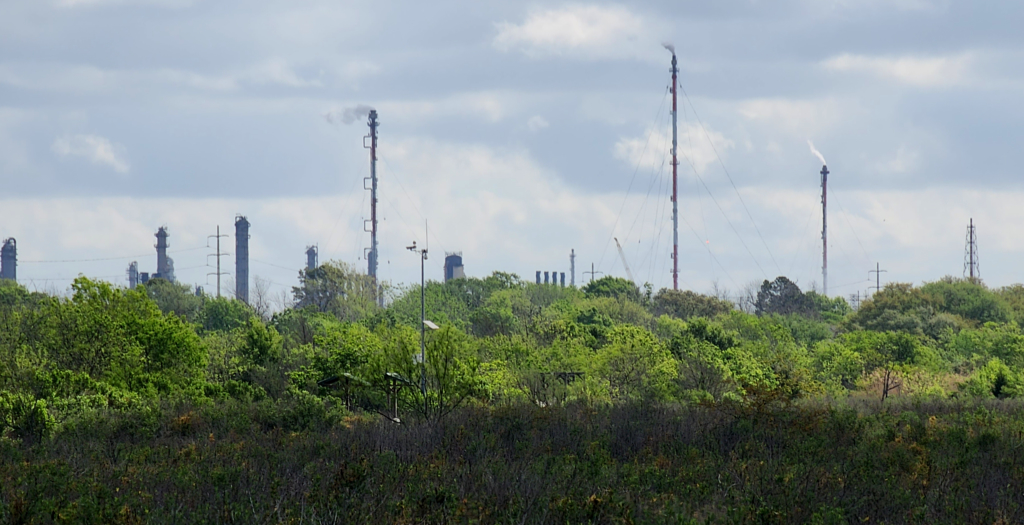
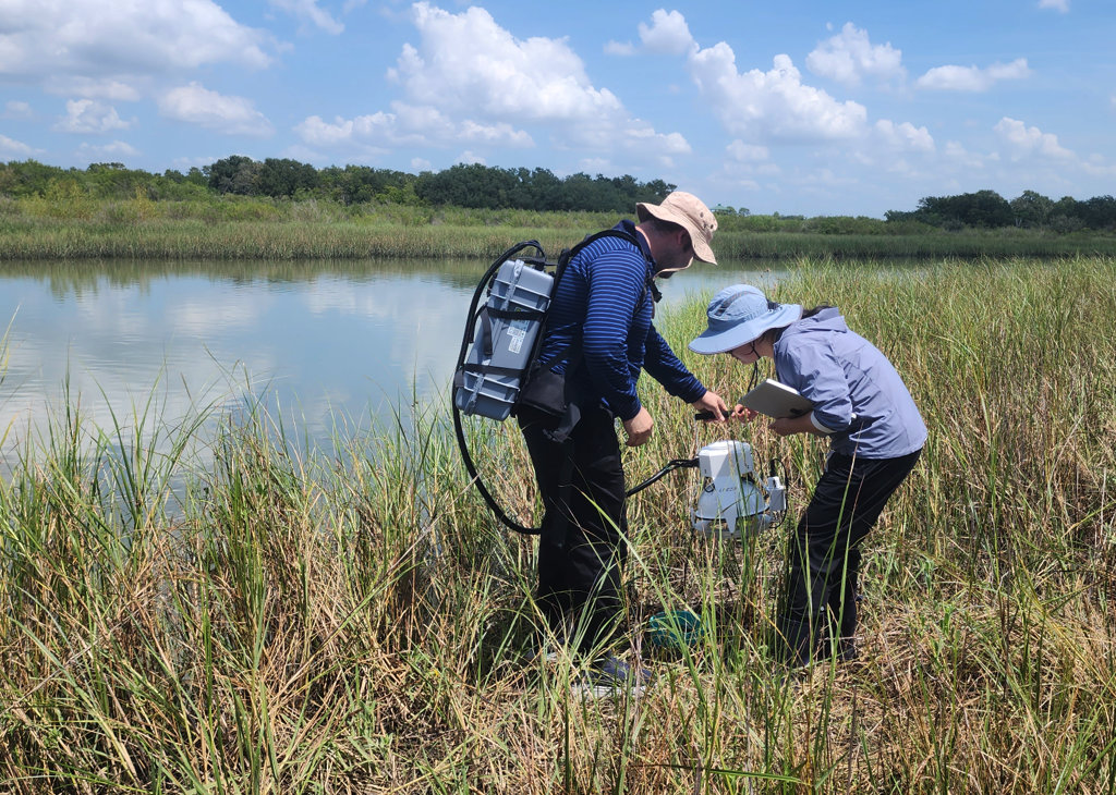
The team is conducting field research at Baytown Nature Center, where coastal wetlands occur in close proximity to major refinery and petrochemical infrastructure. This setting gives the researchers an opportunity to investigate methane from both natural and anthropogenic sources The project combines observations across several spatial scales. Field campaigns include chamber-based methane flux measurements, canister sampling to measure methane and carbon dioxide concentrations and analyze carbon isotopes, and ground-based methane sensing. Drone surveys add another layer of information through methane measurements, multispectral imagery and LiDAR observations.
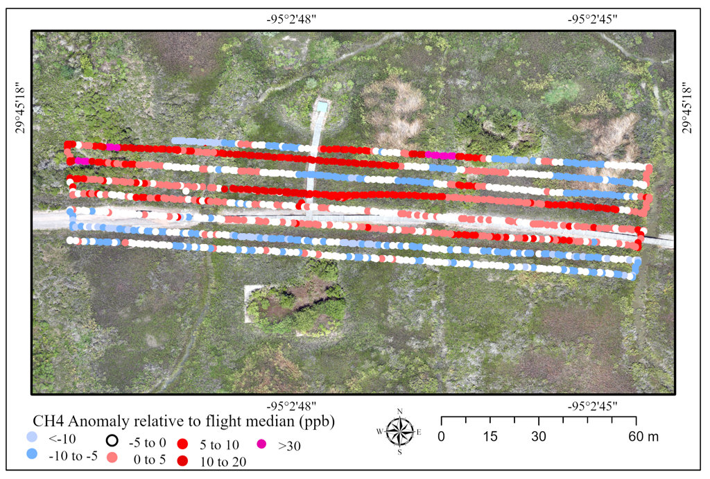
Recent field campaigns have revealed substantial spatial variability in methane fluxes and atmospheric methane concentrations. Chamber measurements collected under contrasting rainfall and tidal conditions indicate that hydrology and local wetland conditions can strongly influence methane release. Drone-based methane surveys are identifying fine-scale concentration anomalies across the study area that will be investigated further through quality control and comparison with ground-based measurements.
From the Ground to Space
The research extends beyond field measurements. The team is evaluating hyperspectral observations from multiple airborne and satellite platforms, including PRISMA, AVIRIS-NG and EMIT, to determine how methane signatures can be detected at progressively larger spatial scales. Preliminary analyses have identified candidate methane enhancements that are now being compared with drone and field observations.
The goal is to develop an integrated workflow that connects measurements from individual wetland sites to drone surveys, airborne hyperspectral imagery and regional satellite observations.
Such an approach could ultimately help researchers distinguish natural wetland methane from industrial emissions and improve the ability to identify emission sources in complex coastal and energy-producing environments.
The team also sees opportunities to translate the methods developed in Baytown to other regions, where improved detection and characterization of methane emissions could support future research and industry applications.