FIELDGeo 2026
By Jamie Jetton, M.S. Geology Student, Winter Trip TA
From January 4 - 11, 2026, the University of Houston partnered with Wharton County Junior College and teachHOUSTON for a fully immersive winter field experience across southern New Mexico. Supported by a 4-year NSF grant, FIELDGeo is designed to expose new students to geoscience while simultaneously researching how field experiences shape scientific identity and long-term engagement in natural sciences.
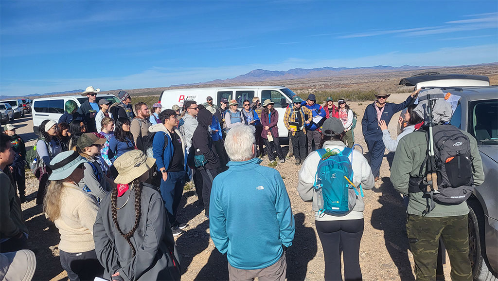
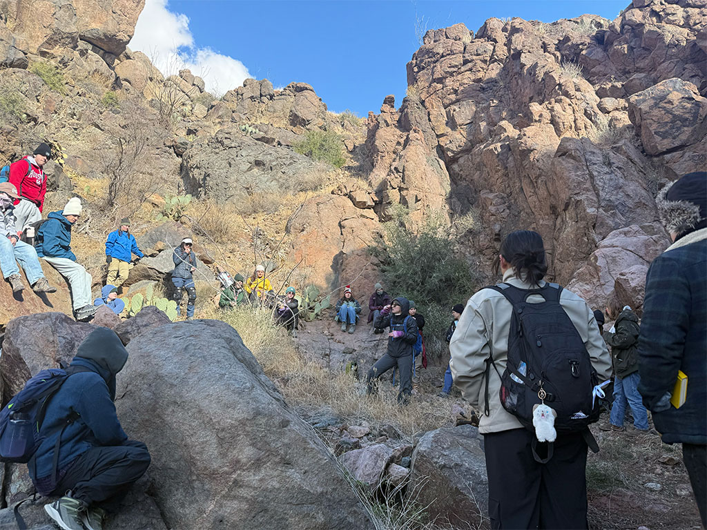
Almost 70 students and faculty participated in the 2026 field campaign. Most of the group came from the University of Houston and the teachHOUSTON program, with additional students and faculty joining from Wharton County Junior College and the University of Kansas.
The trip this year reflected a wide range of academic backgrounds and experience levels. Some students had only taken a single physical geology course and were using the trip as an opportunity to see how the concepts they learned in class applied in the field. Others were junior and senior geology majors, there to strengthen their field skills and contribute to ongoing research. The field campaign is designed to support both groups, creating an environment where students can learn from the landscape, from the research itself, and from each other.
FIELDGeo is not just about looking at outcrops; it gives early-stage students room to ask questions, test their interests, and receive hands-on experience, while also providing more advanced students the chance to strengthen their field skills and engage in research.
With that in mind, let’s jump into what a FIELDGeo trip can look like!
Day 1: Miles, Music, and Meeting the Team
After quick introductions in the dark and a round of loading vans with students, backpacks, and far more gear than seemed possible to fit, we pulled out before sunrise and began the long drive toward El Paso. The overnight stop would give us a chance to rest before the real fieldwork began the next day.
Day 2: First Stop - Elephant Butte Reservoir
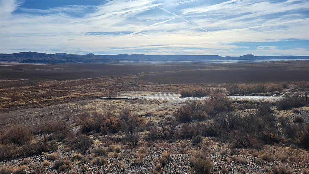
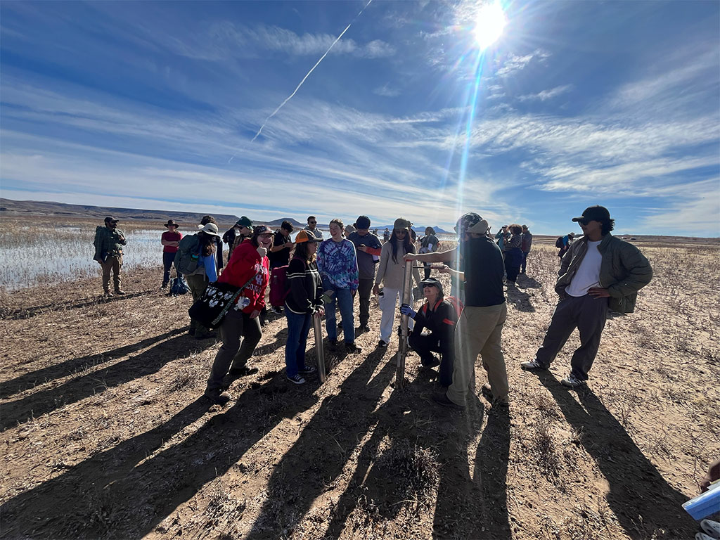
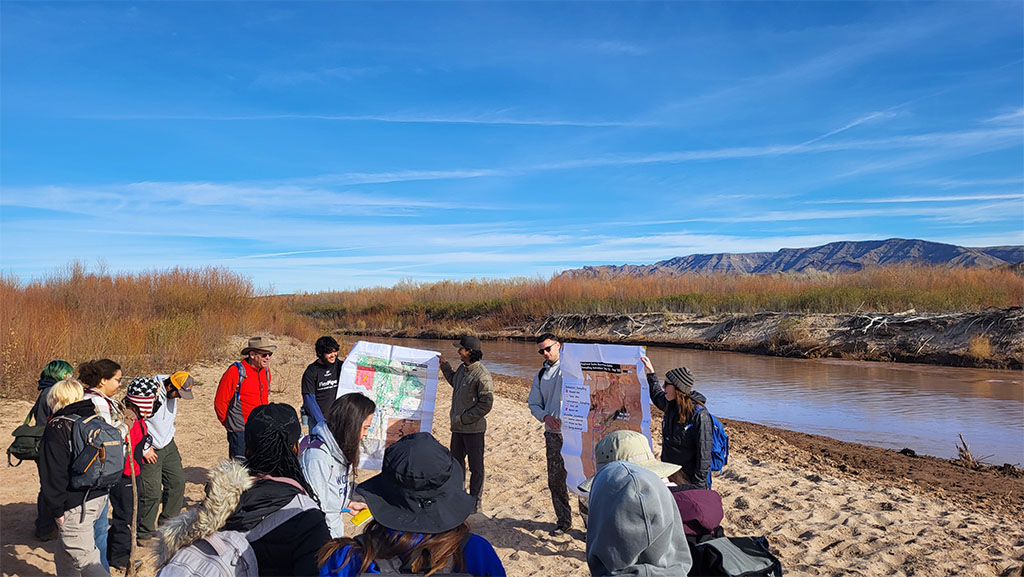
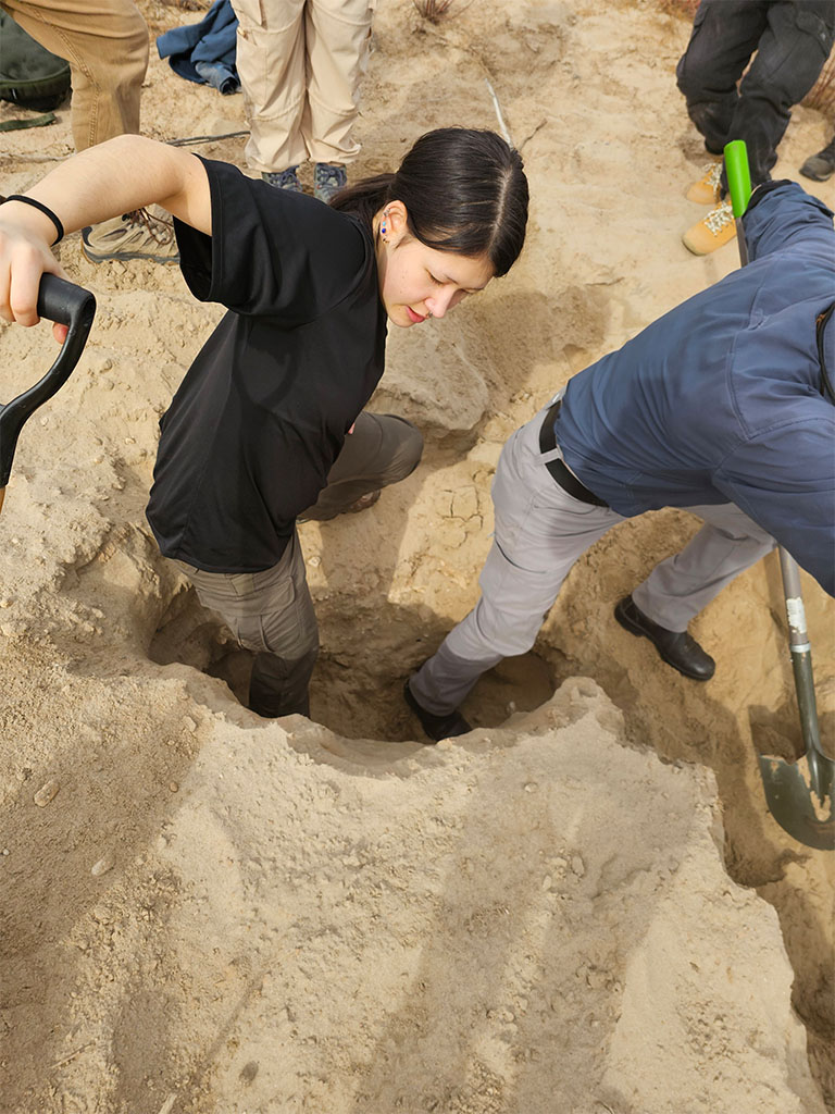
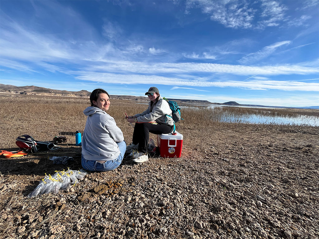
The real adventure began after a good night’s rest at the last hotel we would see for the rest of the week. The next morning, we gathered for breakfast, reviewed the plan for the day, and then set out early from El Paso. After crossing into New Mexico, we headed straight for our first field site to get to work. Elephant Butte Reservoir, which spans nearly 40,000 acres, lies within the Rio Grande rift system that extends from Colorado into northern Mexico and serves as a major sediment trap along the Rio Grande. Created by damming the Rio Grande in 1916, it is the largest reservoir in New Mexico, although it is currently only about 12 percent full. At present it serves as an active researc h site where undergraduates are collecting sediment cores and water samples for ongoing projects.
The first site students worked at had been under water in previous years but was exposed due to lower water levels at the lake. There, they gained hands-on experience using coring tools to collect a sediment core. They assembled equipment, drove the core barrel into the sediment, carefully extracted the core, documented its lithology, and preserved samples for later analysis.
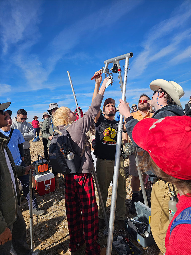
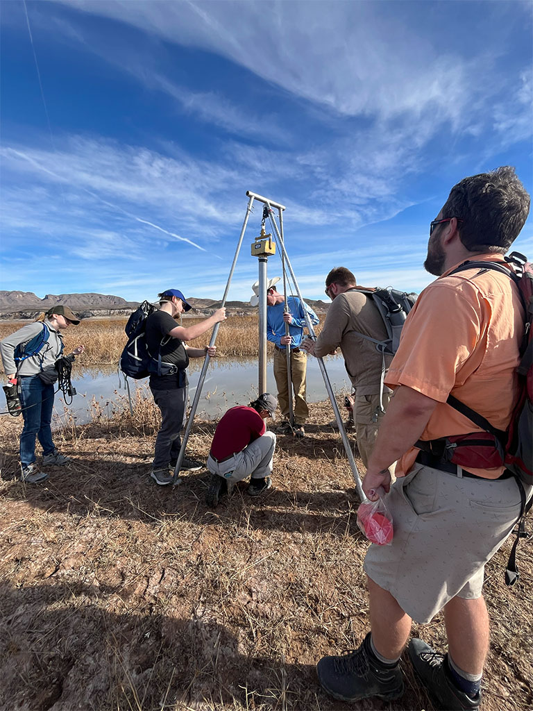
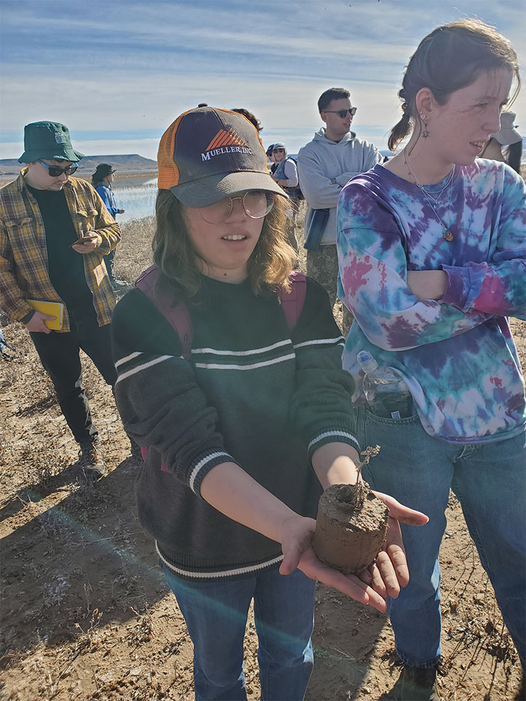
Holding a freshly collected core offers a kind of understanding that a textbook cannot. Grain size changes, color shifts, and subtle layering are visible immediately, giving students the confidence to ask questions about depositional energy, seasonal shifts, and how the core might be used for geologic reconstruction.
Being physically involved in the process gave students a direct look at how sediment builds up in an active rift basin today, how changes in water level affect where and how that sediment is deposited, and how those changes can show up later in the stratigraphic record.
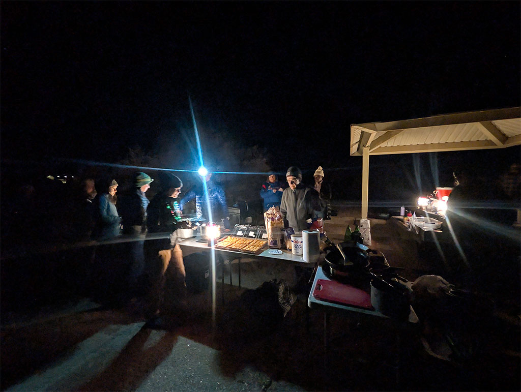
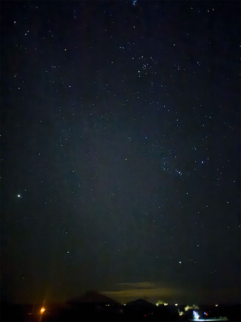
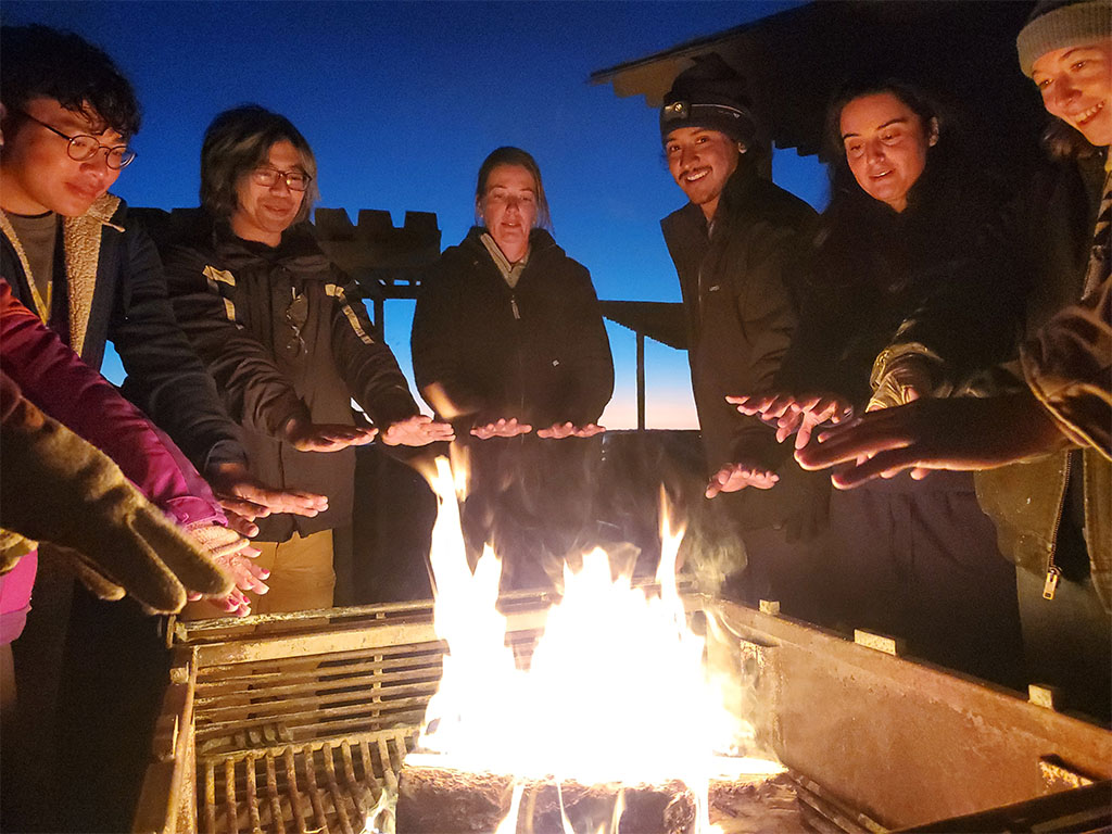
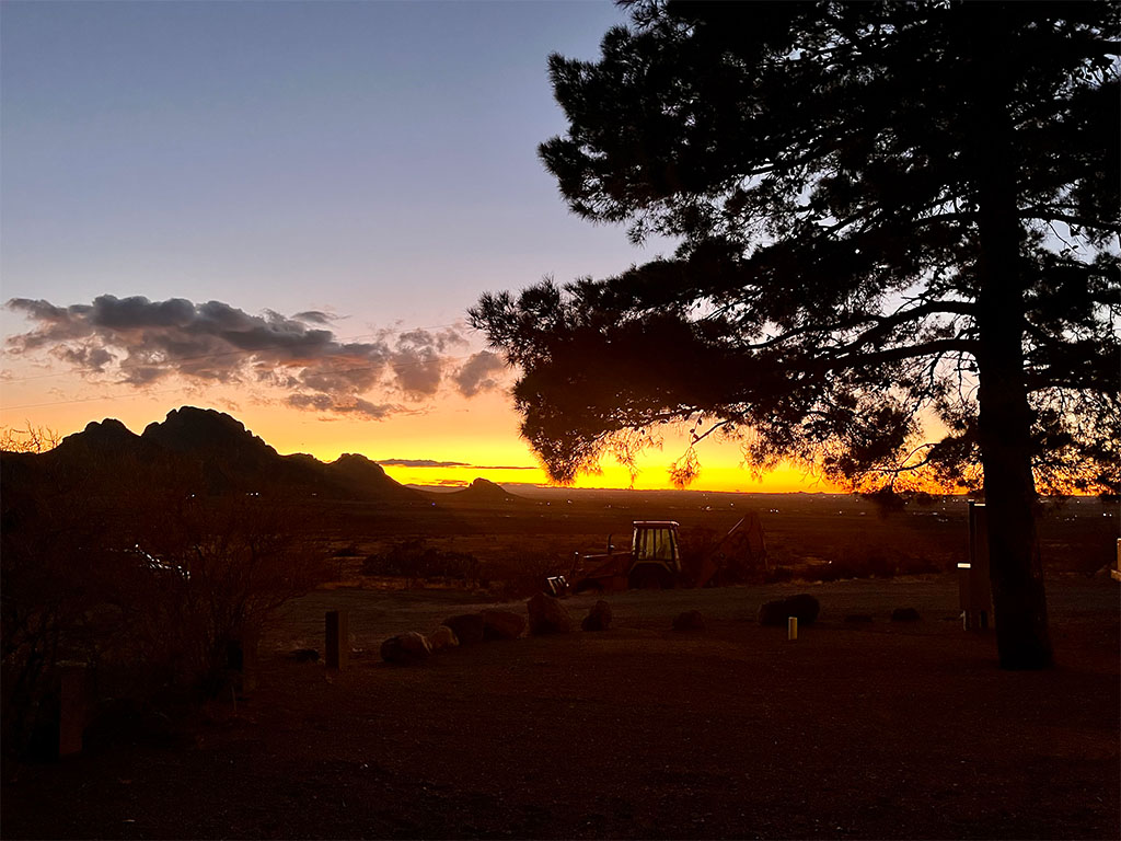
After a full day in the field, we headed to Elephant Butte Lake State Park for a quick overnight camp and our first dinner together. Clear skies, a strong sunset, and clean bathrooms made for a solid introduction to desert field life.
Day 3: Elephant Butte Reservoir continues! Trenching the River Margin
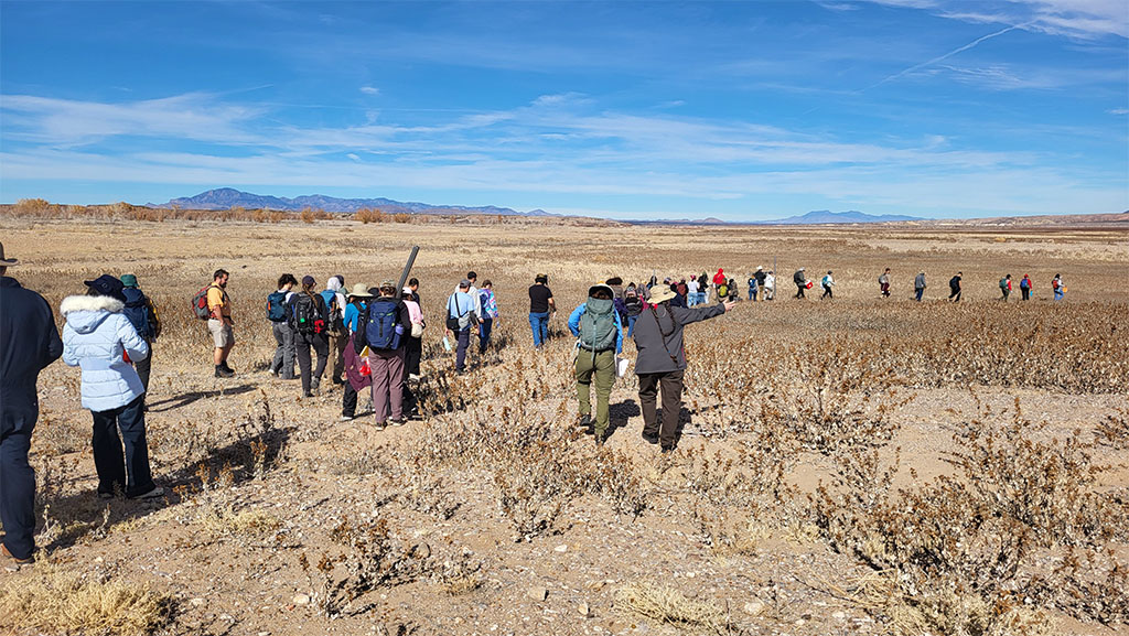
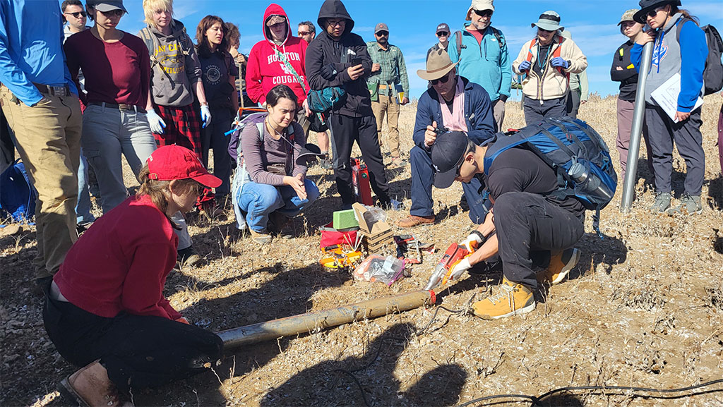
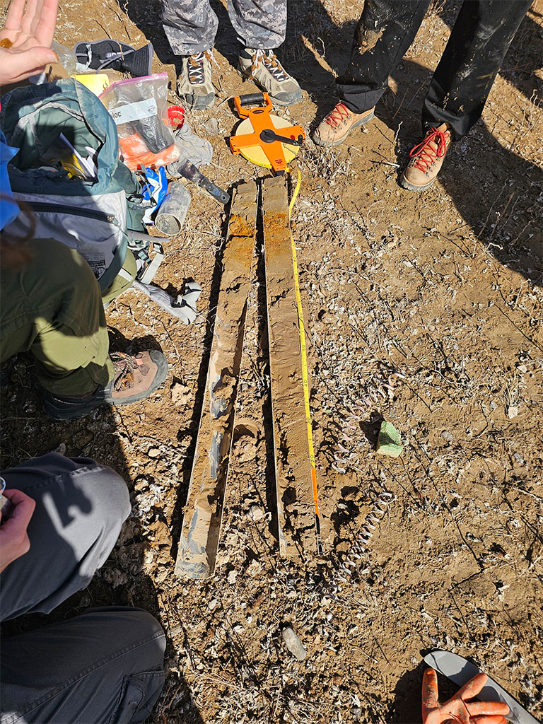
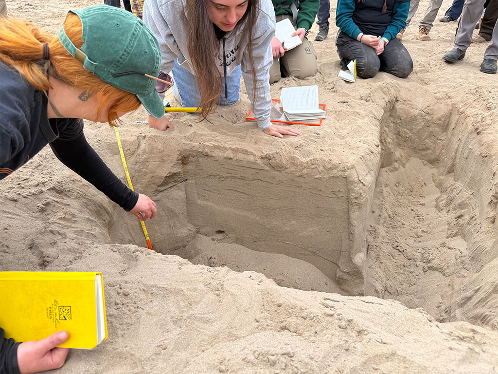
On our second day at Elephant Butte, we shifted from coring to trenching along the river margin. A core gives a vertical slice. A trench exposes sediment in place, allowing layers to be traced laterally and compared across space.
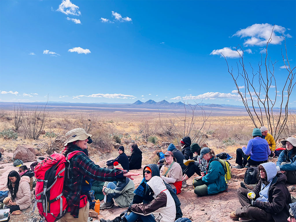
With guidance from our undergraduate researchers, we split into groups and gathered data along different sections of the floodplain.
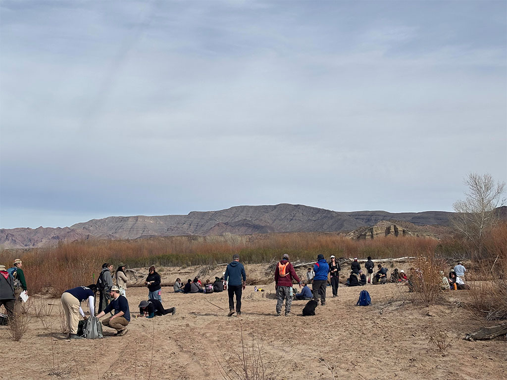
A trench dug parallel to the river helps track how individual layers change along the flow direction, showing whether a sand bed continues downstream or fades out. This helps identify flood deposits and subtle shifts in flow energy along the bank.
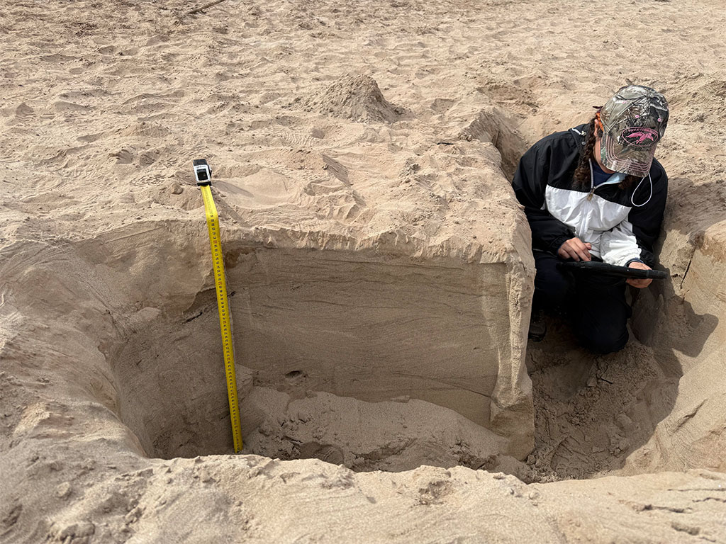
A trench perpendicular to the river cuts across the direction of flow and shows how the channel builds outward over time. Contacts, grain size changes, and buried surfaces become easier to interpret when viewed across the river system rather than along it. Trenches were dug at evenly spaced intervals extending outward from the river.
By the end of the day, we were tired, sandy, and arguing about flood events, which is usually a good sign that the trench did its job!
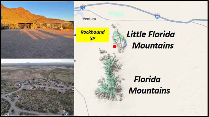
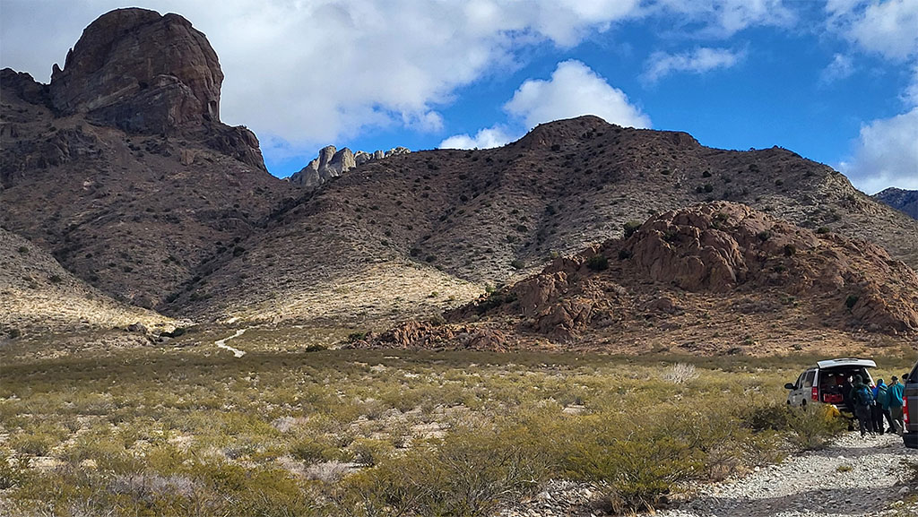
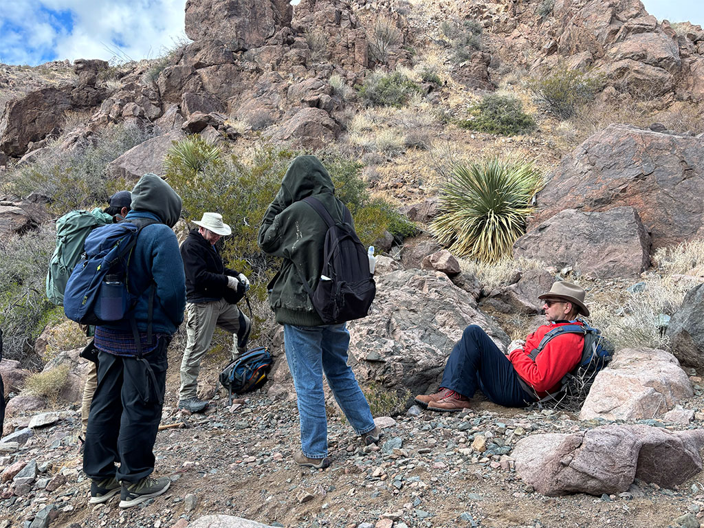
Days 4–6: Rockhound State Park - The Basecamp
With the work at Elephant Butte complete, we headed south toward Deming, NM and established base camp at Rockhound State Park.
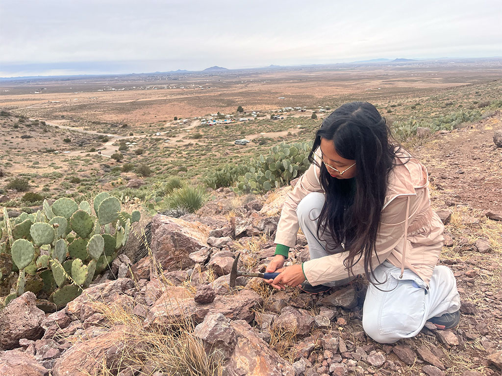
The park sits near the Little Florida Mountains, an area known for its diverse volcanic history and mineral variety. The change in setting gave students a chance to move from working in loose, unconsolidated sediments to studying solid bedrock and the structures preserved within it.
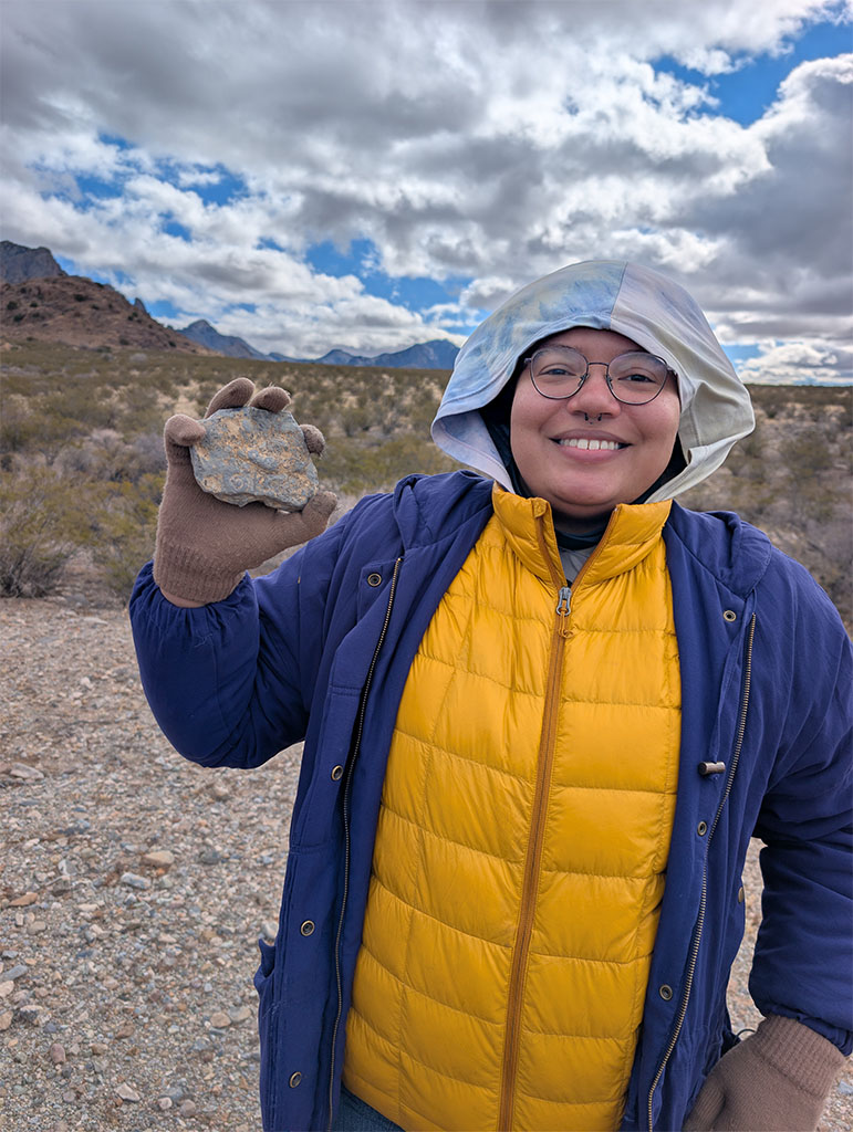
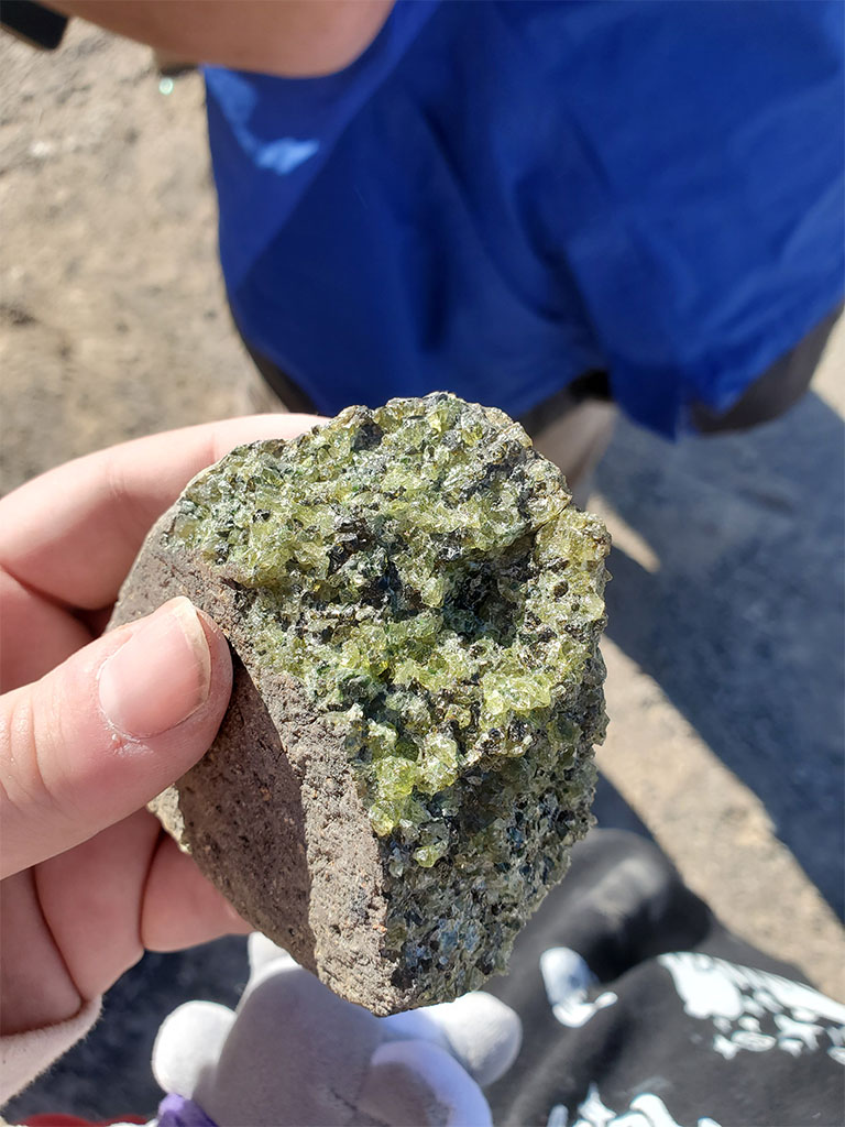
Once we set up our caravan of tents, students were released to the hills to go hunt for rocks and views!
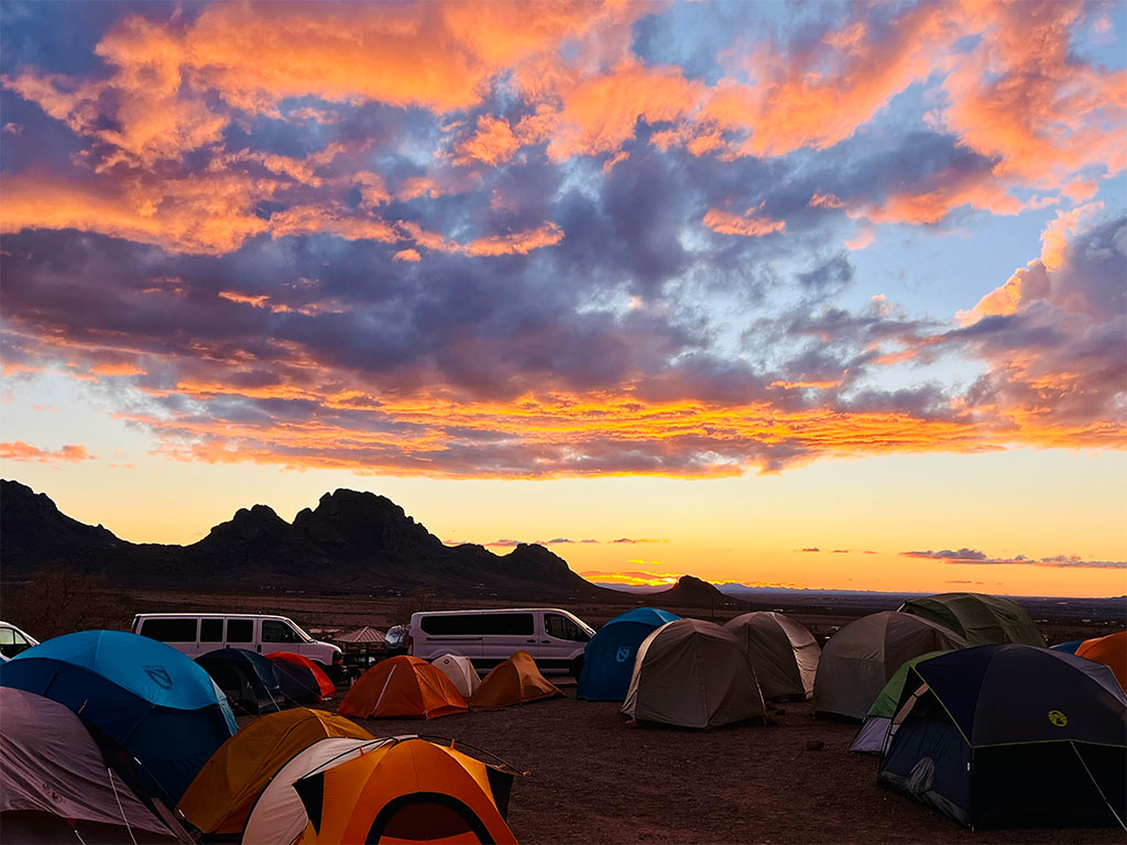
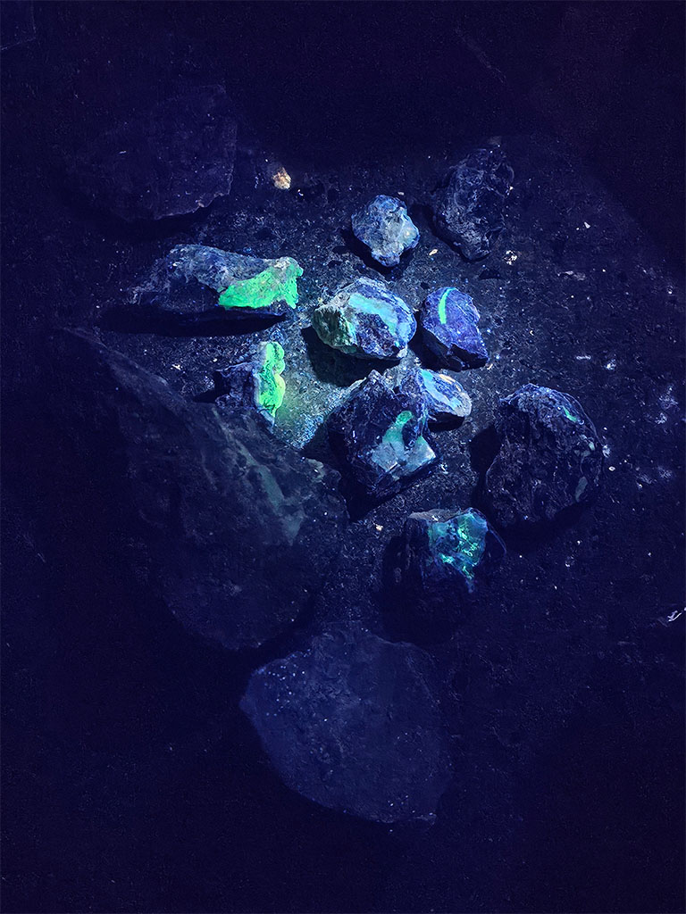
Some specimens were interesting enough to bring out the blacklight that evening!
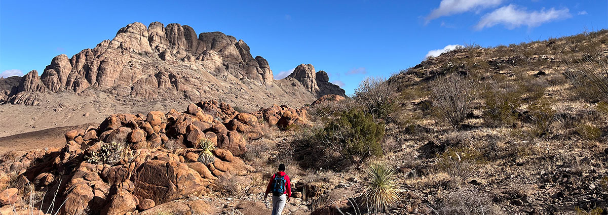
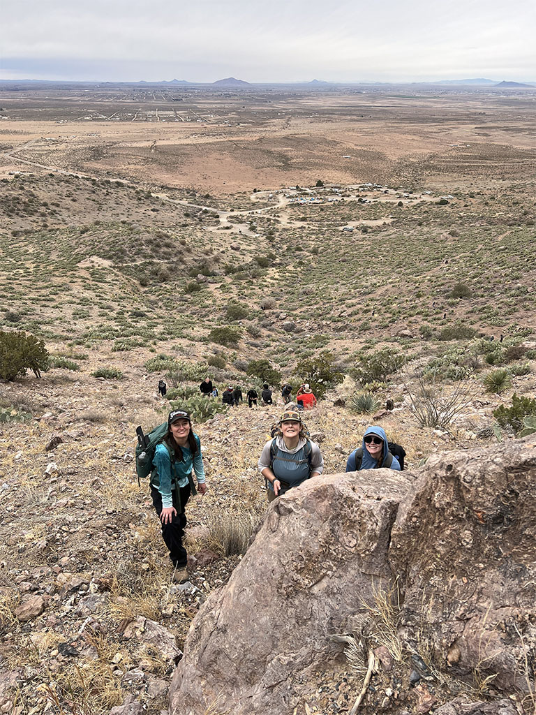
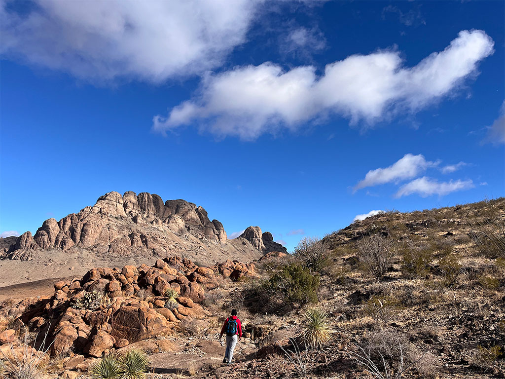
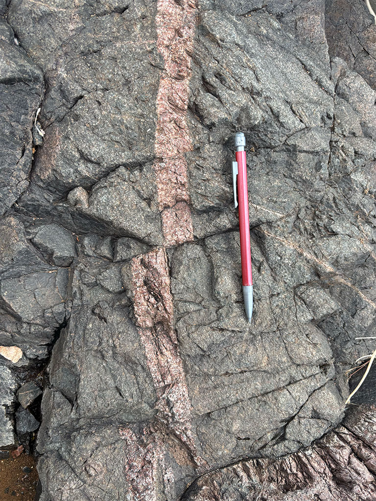
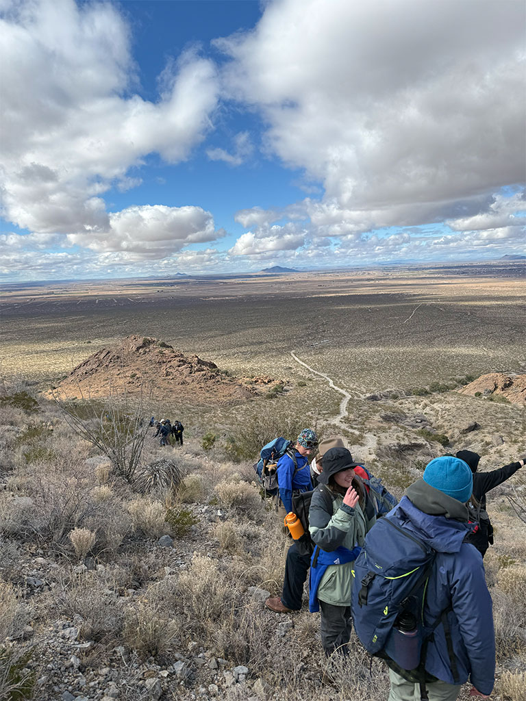
Over the next three days, the focus moved fully into the Florida Mountains and Little Florida Mountains. Students shifted from observing large scale tectonic features to examining igneous processes and structural relationships in detail.
In the southern Florida Mountains, students investigated exposures that preserve evidence of magma mixing. These outcrops provided an opportunity to examine textures that form when magmas of different compositions interact. Rather than simply identifying rock types, students discussed what those textures imply about magma chamber processes, injection events, and the thermal and chemical evolution of the crust.
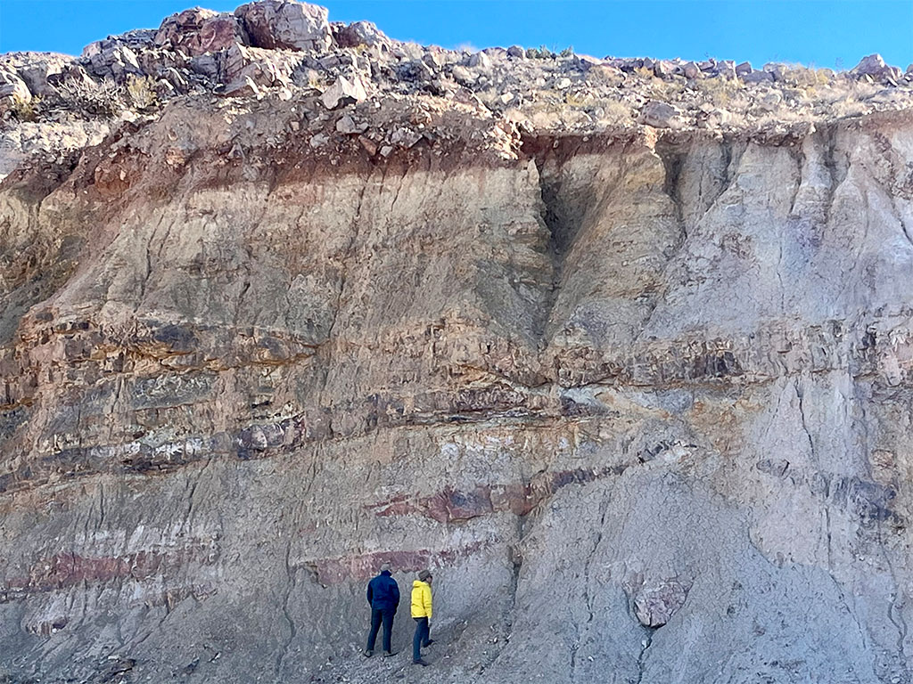
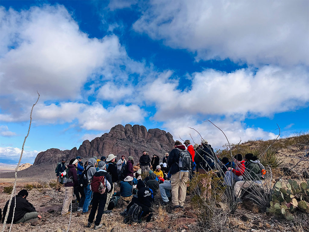
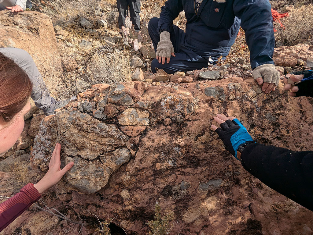
In the northwestern Florida Mountains, the group hiked to Capitol Dome, where structural geology became the focus. There, older sedimentary units are locally overlain or intruded by younger igneous bodies, and deformation has exposed contacts that mark significant gaps in the geologic record known as unconformities.
On the eastern side of the Little Florida Mountains, students collected igneous rock samples for new research projects. Sampling required careful documentation of location, lithology, and field relationships. Students discussed how these samples could be used for geochemical analysis, petrographic work, and potentially geochronologic study. The emphasis was on understanding why a sample is collected, what question it helps answer, and how field context strengthens laboratory interpretation.
On the morning of the 10th, we packed up camp for the last time. Tents came down, gear went back into the vans, and the routines we had fallen into over the week disappeared pretty quickly. There was a mix of tiredness and excitement as we loaded up. Field notebooks were fuller, sample buckets had spilled over into coolers, and the conversations during the drive started to shift from what we had been seeing to how it all fit together. One thing was certain. We were going to miss those sunsets.
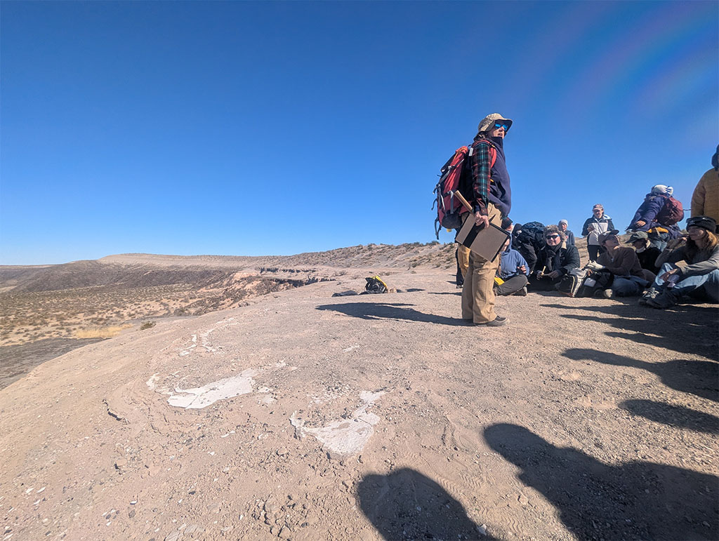
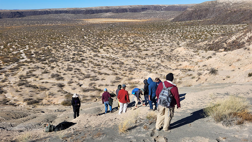
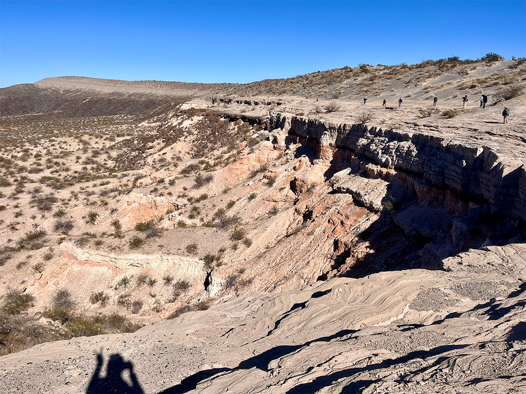
Our final stop before leaving New Mexico was Kilbourne Hole, a maar volcano formed by explosive interaction between magma and groundwater.
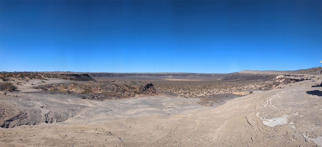
The crater formed when rising basaltic magma encountered groundwater, producing a phreatomagmatic eruption that violently fragmented both magma and surrounding rock. The result is a broad, low relief crater rather than a tall volcanic cone.
As we left the rim of Kilbourne Hole and started the drive back toward civilization and real mattresses, the shift from open desert to highway concrete felt abrupt. After a week of sleeping in tents and working out of the back of vans, trading volcanic craters for a hotel room marked the end of our field sites and the beginning of wrapping up everything we had seen.
In seven days, we traveled hundreds of miles and stepped through more than a billion years of Earth history. From rifting and compression recorded in the Florida Mountains, to foreland basin deposits near Elephant Butte, and the active extension visible at Kilbourne Hole, each stop connected tectonic processes to the rocks in front of us.
For students considering geology, this is what the discipline looks like in practice. It includes long drives with friends, cold mornings, too much coffee, carefully written observations, and steady discussion in front of outcrops, sometimes on the side of a road. It means reading rocks in context and recognizing that Earth’s history is rarely simple, often overprinted, and best understood in the field, under a hand lens. And if you are unsure where to start, there will always be someone in our department ready to talk rocks and geomorphology with you!
We leave you with a song from Dr. Pete Copeland, who would be delighted to see you at his next live performance during the 2027 winter trip:
Raindrop impressions on Cambrian shales,
Granites and sandstones from England and Wales,
Even when pebbles get caught in my socks,
These are a few of my favorite rocks.
All coarse-grained marbles when viewed in thin sections,
Anticlinoria on map projections,
Websterite, tuffa, and fossilized trees,
These are my favorite lithologies.
Gritstone and mudstone and old diamictites,
Limestone with crinoids and olivine foidites
Brown impact breccias with sharp shatter cones,
These are a few of my favorite stones.
Kyanite gneisses and grey biosparite,
Nepheline syenite, it’s always just right,
A buff adamellite wrapped in a sweet box,
These are a few of my favorite rocks.
Andesite, eclogite, blueschist, and coal,
Phyllites and ignimbrites never get old,
Tonalites have many nice qualities,
These are my favorite lithologies.
Cream-colored rhyolites in layered strata,
Staurolite-garnet schists and all their data,
All of my pet rocks have forever homes,
Yes, these are a few of my favorite stones.
When the time comes.
Exams by clocks.
These guys are the best.
I simply remember my favorite rocks,
And then I can take the test!