Spring Break Structural Geology 2026
By Michael Daniel, Ph.D. Geology Student, Teaching Assistant
Most college students spend their spring break visiting family, relaxing, or partying at the beach. The upper-level geoscience students at UH EAS, however, strap up their hiking boots, pack up their tents, and indulge in another tradition: a field trip to West Texas, centered around Big Bend National Park, guided by Dr. Mike Murphy. After driving ten hours west of Houston, one naturally begins to encounter subtle signs of the “three Fs--” faults, folds, and fabrics. Here, the students get a chance to demonstrate the field skills they acquired over the course of their undergraduate studies and get a little taste of what to expect during summer field camp, their capstone course.
The focus of this project is to observe, document, and interpret structural geologic data in the field. The first two days of the weeklong course will be used as practice for their last four days of which a final map and cross section of the Tornillo Flat area will be deliverable. The students will spend the first two days in the Christmas Mountains just northwest of Terlingua, a township that lies just outside of Big Bend National Park. While at the Christmas Mountains the students will get to know the stratigraphy of the area, which consists of four sedimentary Cretaceous units, and two igneous Cenozoic complexes. They will use the field skills they have learned in Field Methods, Igneous and Metamorphic Petrology, Sedimentology and Stratigraphy, and Paleontology to make distinctions between the different rock units. The students will first begin to identify primary structures that developed as the strata was being deposited or as the volcanics were being erupted, or the intrusions were being emplaced. The students will also be tasked with identifying secondary features that form after lithification such as joints, fractures, conjugate fractures, faults, which can relate to primary formation but mainly help to understand the tectonic forces that these rocks have been subjected to over millions of years. This will be an introduction to the area and to the features that they can expect to see in the last four days of the trip when we begin to venture into Big Bend National Park.
Day 0: 03/14/2026 Depart U of H Campus 6:47 AM - Arrival in Terlingua 5:55 PM
Day 1: Introduction to Terlingua
Locality 1: Christmas Mountains
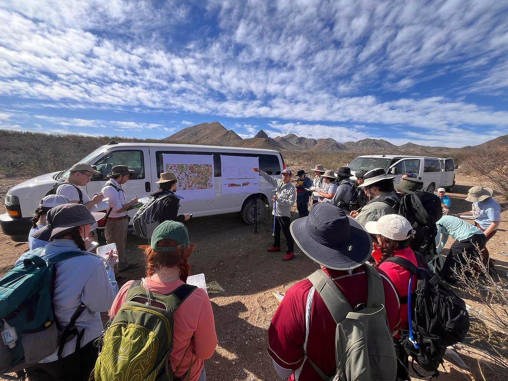
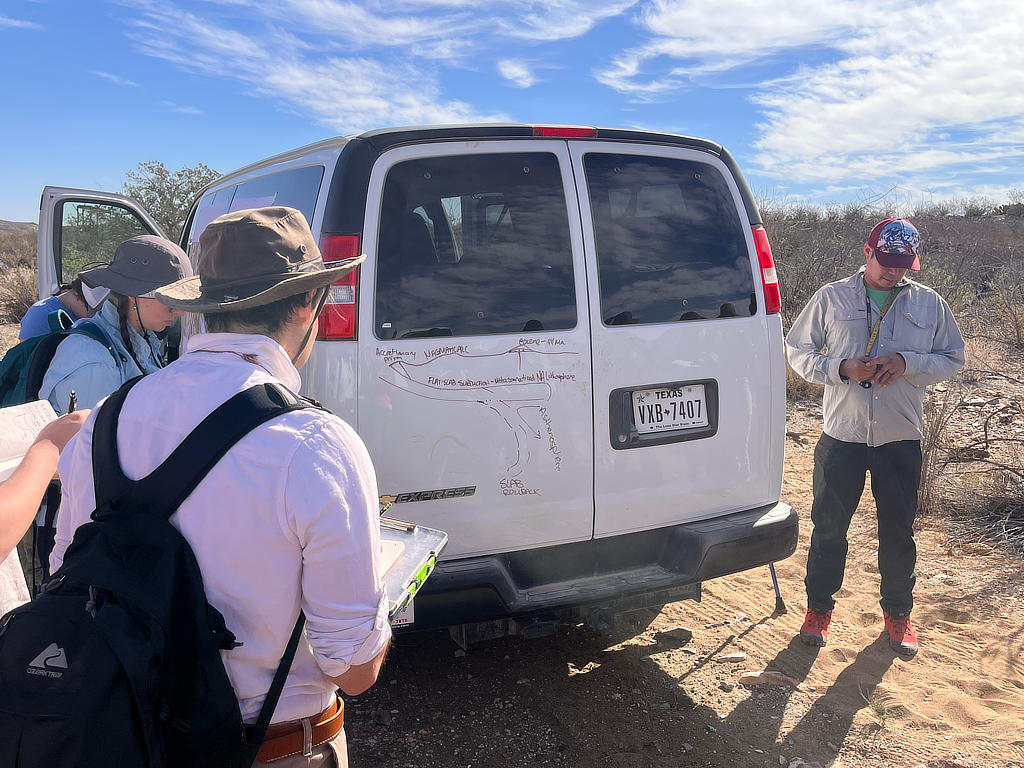
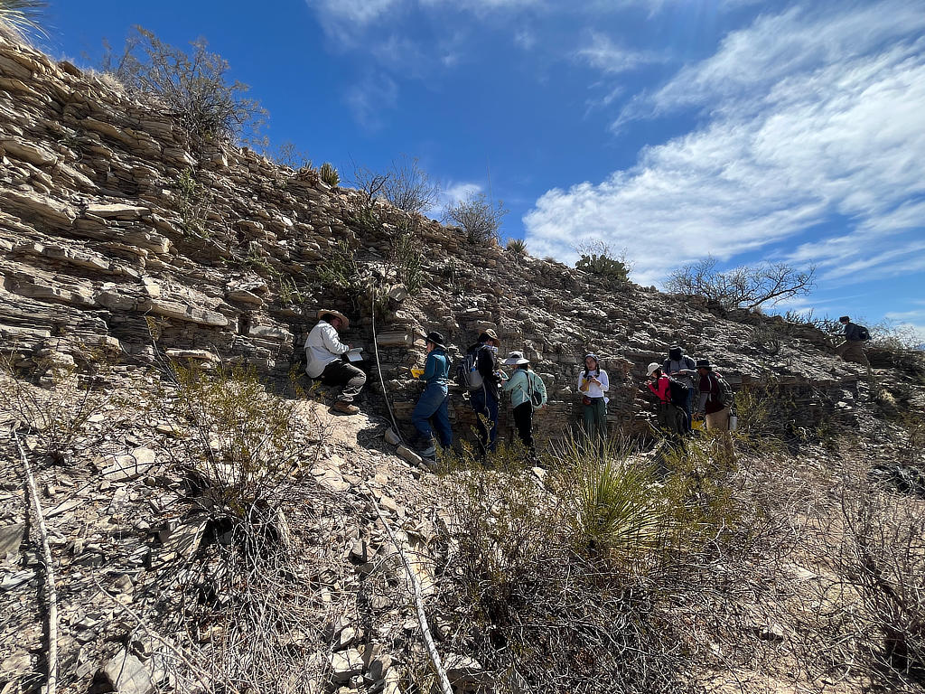
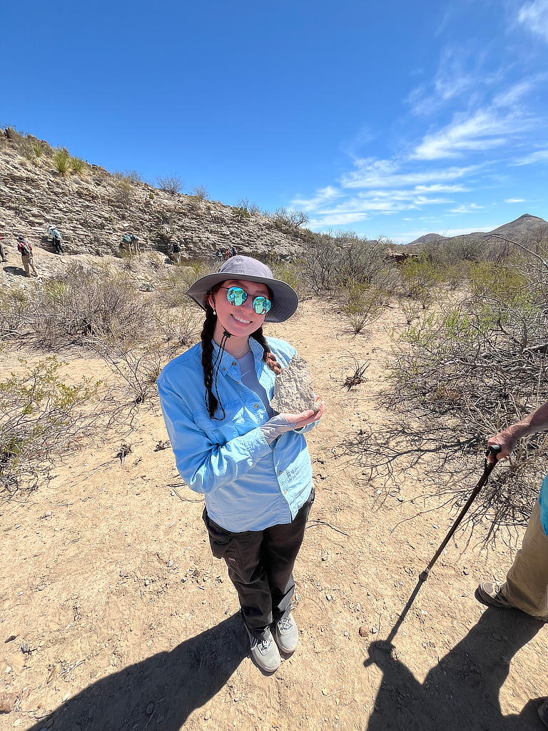
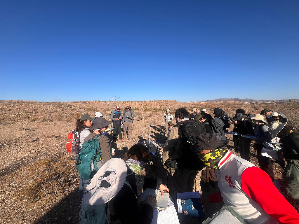
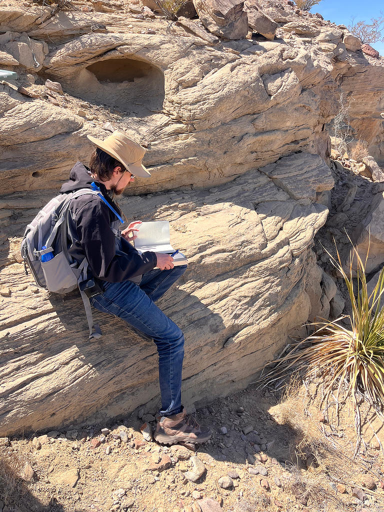
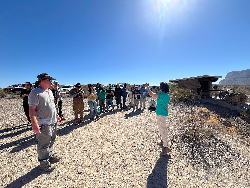
The field day begins the same as every day does; the students all gather around the vans while Dr. Murphy issues a safety moment where we discuss the potential hazards we may face in the field and how we can best avoid them. Dr. Murphy then leads the students through a general geologic history of this area and has the students make a sketch. As a group, we then made our way through a wash and found an outcrop that has the Eagleford formation and a syenite dike that has intruded into it. The group inspects pieces of the intrusions with their hand lenses to describe the rocks and use their knowledge of the literature from their reading list to guess which event they were emplaced in. We then head to a beautiful outcrop of the Eagleford shale with fractures, joints, boudinage and slickenlines, all boasting the marvels of irreversible deformation. Here, the students relearn how to measure such structures, of course after going through the universal experience of realizing that they forgot how to use a Brunton since last year’s field methods class (don’t worry, it comes back quickly, and soon, they will enter the “right-hand-rule flow state”).
Locality 2: Clastic Dike Roadcut
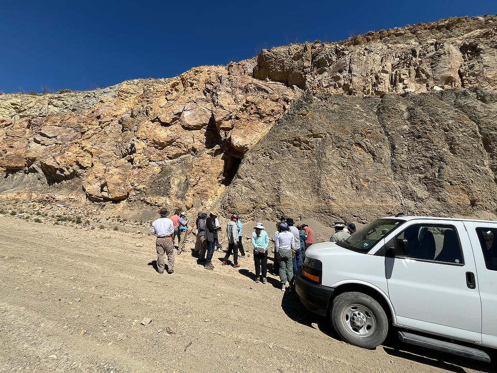
The day is getting warmer, and the sun is beaming down. The group stops at a phenomenal roadcut where Dr. Murphy and the students work together to determine what type of structures and what their origin may be. After some discussion, the roadcut is interpreted as a clastic dike. The large-scale intrusion has generated other interesting structures along its dissipative gradients, like Liesegang banding in the nearby shale that surrounds the dike. The students are then tasked to sketch the outcrop.
Locality 3: Graben Outcrop
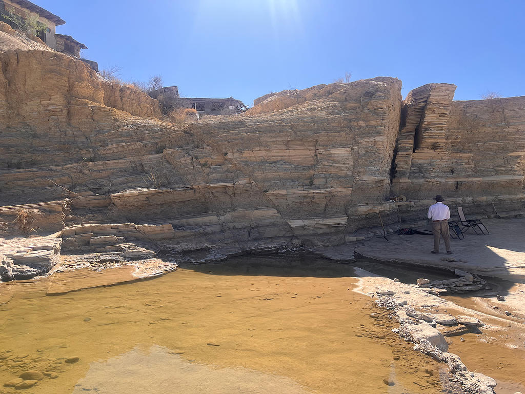
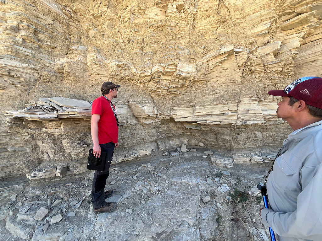
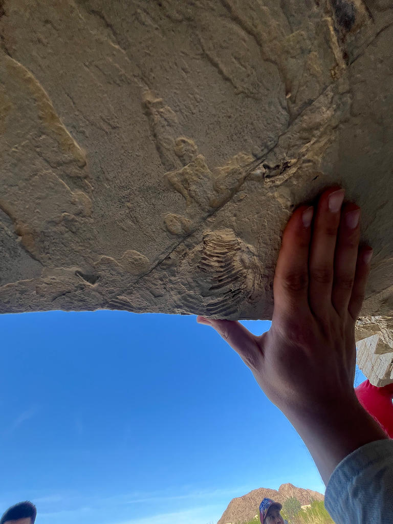
The day is cooling down and now we are making our way to the last locality of the day. This area shows textbook examples of grabens, and fractures related to extension and vertical stresses. This outcrop is also quite fossiliferous! The students have the task of measuring the attitude of the bedding, the faults, and the fractures. The students sketch the structures and describe their kinematics.
Day 2: Tourist/Travel Day
Locality 1: Terlingua Ranch Hotel
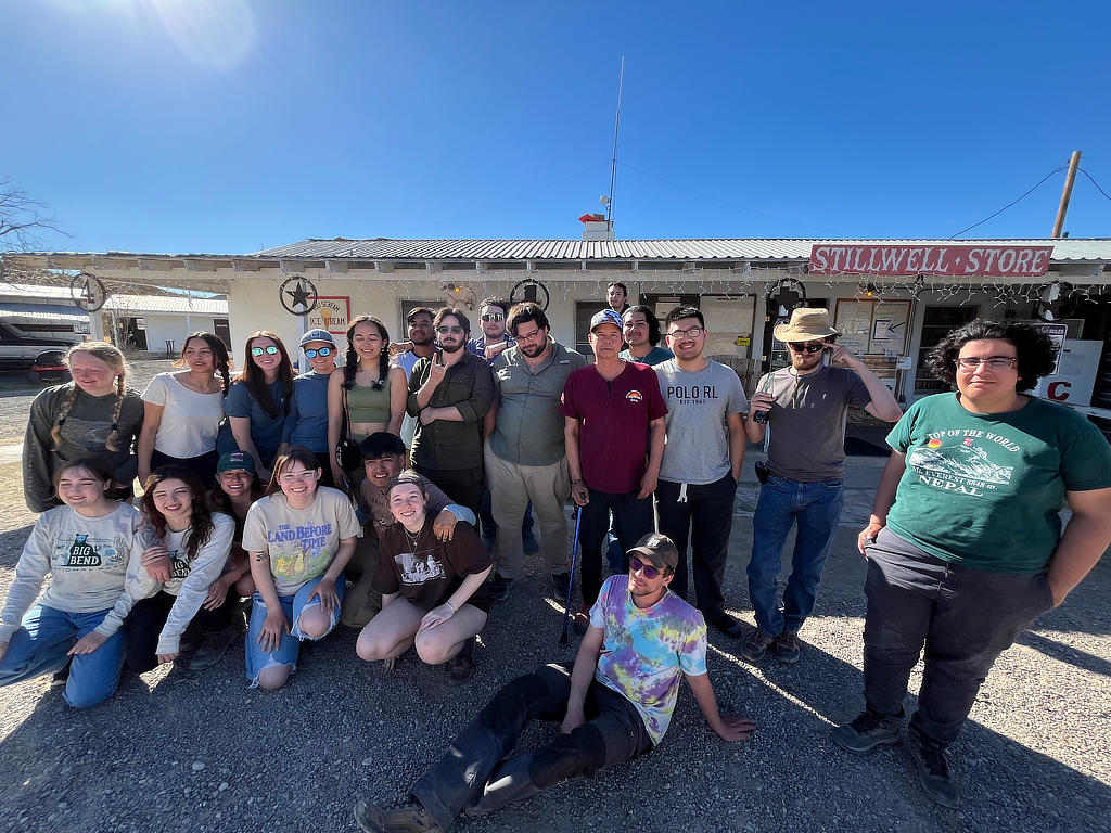
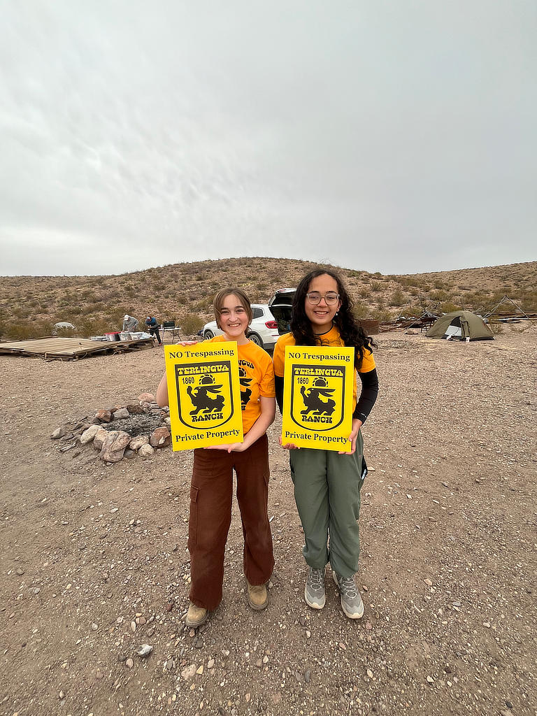
Today is a travel day and a day where the students scoped out the geology that they could see from the safety of our vehicles. The class made observations of the lacocalderas and surrounding Cretaceous strata for most of the morning until we stopped at the historic Terlingua Ranch Hotel for a bathroom break and souvenirs! After the quick stop it was back to camp to pack up our gear and head out to the Stillwell RV Ranch to meet up with Dr. Robinson and the Field Methods class.
Day 3: Introduction to Tornillo Flats
Locality 1: Tornillo Flats
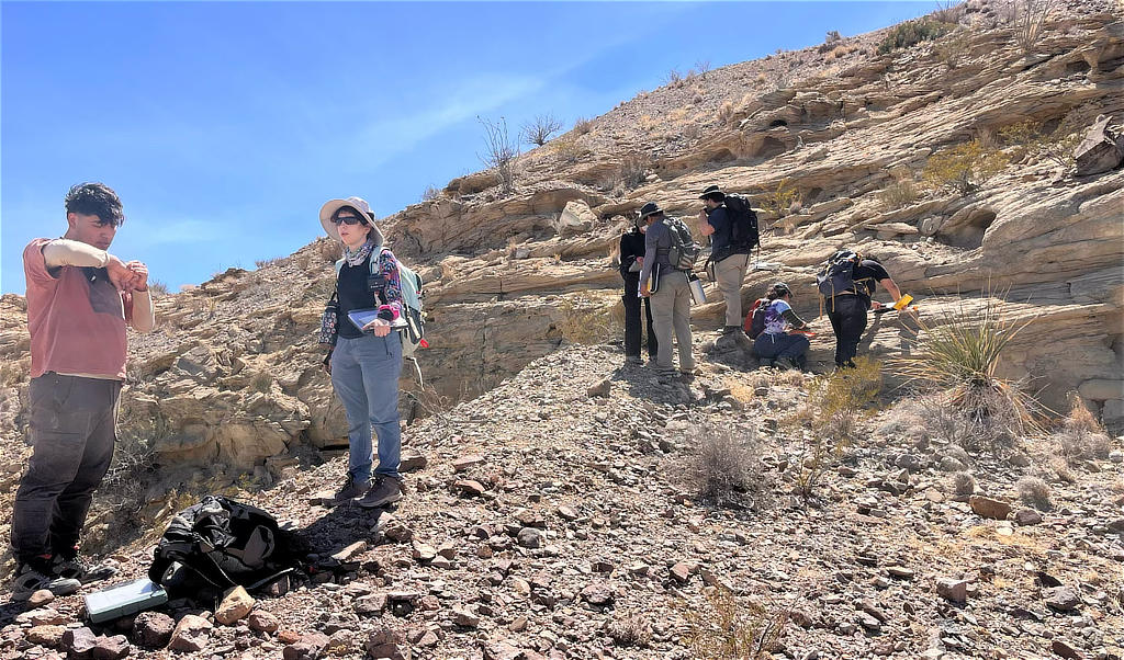
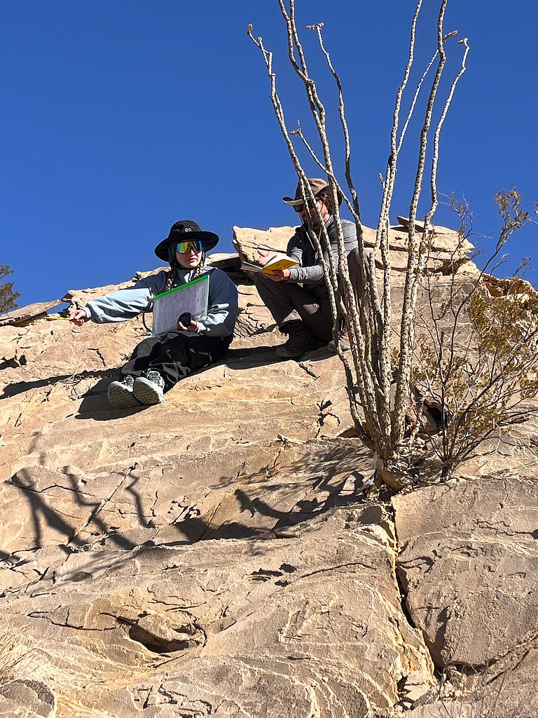
Today is the first day of the mapping project in Tornillo Flats. The students have become Brunton masters by this point, but they still must shake off the rust a bit when it comes to locating themselves on the topo map. The TAs help them get familiar with their locations and guide them through the three main stratigraphic sequences: Hannold Hills, Lower Canoe, and Upper Canoe. At the first stop, the instructors teach the students how to identify signs of faulting. We stand on the Lower Canoe sandstones and observe that the stratigraphically lower Hannold Hills across the creek towers over us, and it becomes clear that at the map scale, we identify faults not by searching for a singular surface but rather by observing funny business in the surroundings. The students also measure the orientations of limbs defining cross-bedded sandstones. These observations are essential for determining axial surface, which in turn indicates the paleo-flow direction that can be recovered via stereonet rotations of the bedding. The instructors guide the students through a good portion of their mapping area until everyone enjoys a scenic lunch along a ridgeline. Then the students are off to map in groups of two.
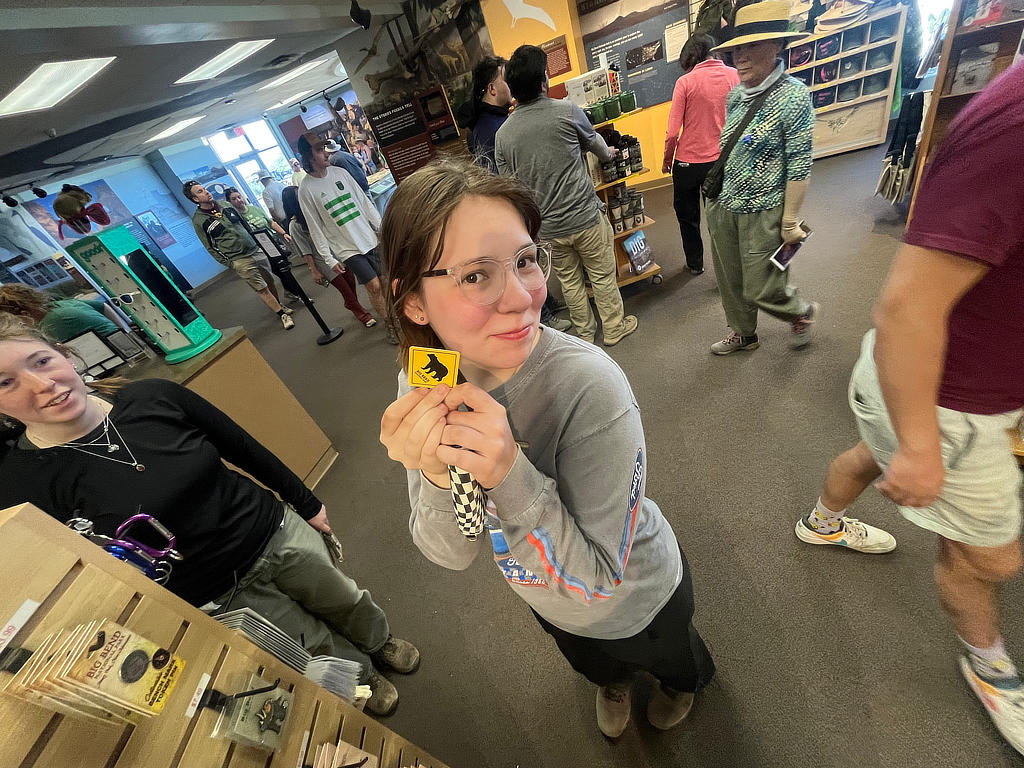
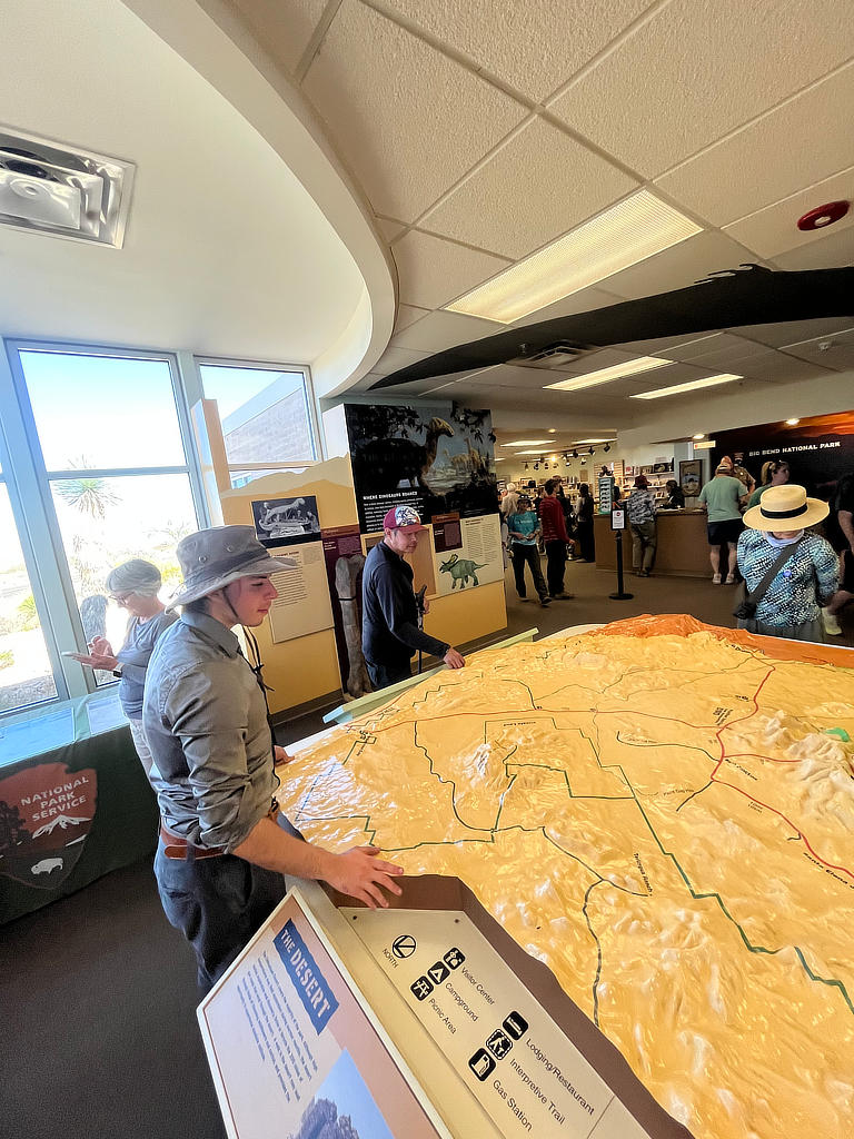
When the field work is said and done, we head to Panther Junction for the students to enjoy a few minutes of wi-fi and acquire souvenirs.
The students stopped at panther junction.
Day 4: Mapping of the Tornillo Flats
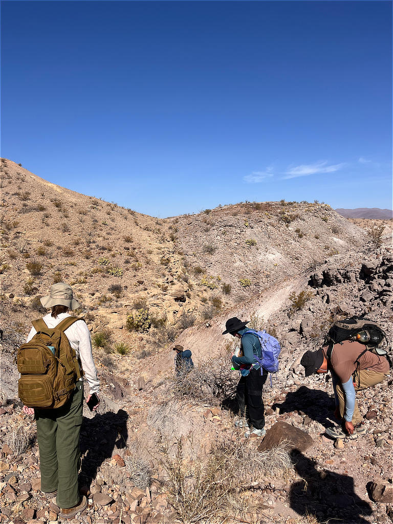
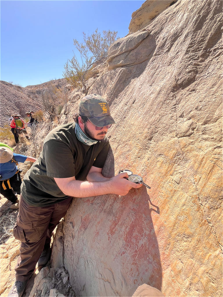
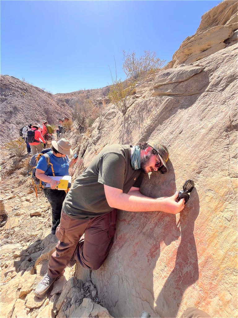
Day four is boots-on-the-ground as students hustle to fill their map with geological observations. First, the TAs lead the students to some significant outcrops. First, we see a mafic sill, boasting a marvelous network of veins. Next, the students are guided to an area where a nice exposure of a fault surface enables them to experience measuring the surface and its kinematic indicators, which here are slickenlines that indicate purely normal slip. Since we love our students, we set them free to finish mapping the area as TAs search for groups in need of advice; indeed, they all come back, although some certainly have some battle wounds to address. Because of our safety moments, the students and TAs know how to handle this and devise a plan to send a group to Panther Junction for emergency services. Thankfully, everyone is OK in the end, and many students learned a valuable lesson about the importance of hydration.
Locality: Tornillo Flats
Day 5: Tourist Day around Big Bend National Park
Locality 1: Santa Elena Canyon
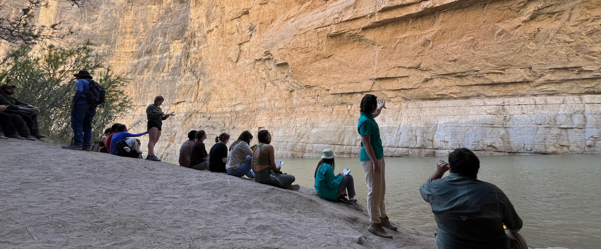
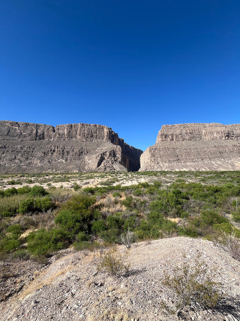
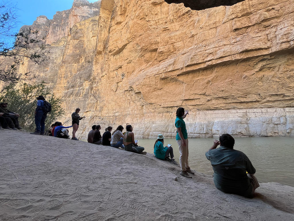
After a long four days, the students get to spend their last day of the field trip doing some sightseeing. The first stop is Santa Elena canyon. Before the students enjoy their hike, graduate student Syd Lineberry guides them through the stratigraphy from afar, where we observe the normal fault that caused the units to tilt into the distance.
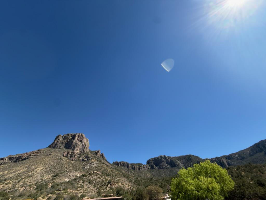
The next stop is Chisos basin—one of the most beautiful areas in the park. Although we saw no bears, we enjoyed lunch and made great memories. Usually, this would be time to return to camp as students scramble to finish their maps by midnight. Since the students were so resilient this year, they get a special treat—the maps are due on the next Tuesday so they can enjoy their last night chilling under the big, bright stars of Texas.
Locality 2: Chisos Basin
Wrap Up and Final Notes
Field work is inherently rigorous and unpredictable. It is often referred to “Type 2 Fun,” which implies the existence of a “Type 1 Fun.” The latter entails leisurely activities which one enjoys in the moment like going to the movies, a ballet, or a sporting event. Type 2 Fun describes the type of experience you look back fondly on despite the experience possibly being grueling or stressful at in the moment. This is the typical experience for field work. The students of the Structural Geology course of the spring of 2026 showed unparalleled enthusiasm for being in the field. Some days were hotter than others, and some days were challenging in other ways, but the students all remained excited and engaged the entirety of the trip. This group of students showed perseverance and determination and are well on their way to acing their field camp and becoming excellent geologists after their graduation.